File:C74193s5 Ant.Map Mount Melbourne.jpg

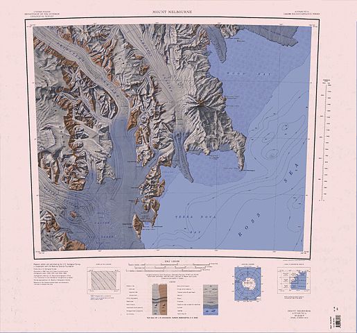
Dimensioni di questa anteprima: 644 × 600 pixel. Altre risoluzioni: 258 × 240 pixel | 515 × 480 pixel | 824 × 768 pixel | 1 099 × 1 024 pixel | 2 198 × 2 048 pixel | 3 493 × 3 254 pixel.
File originale (3 493 × 3 254 pixel, dimensione del file: 1,68 MB, tipo MIME: image/jpeg)
| Questo file e la sua pagina di descrizione (discussione · modifica) si trovano su Wikimedia Commons (?) |
Dettagli
| Descrizione |
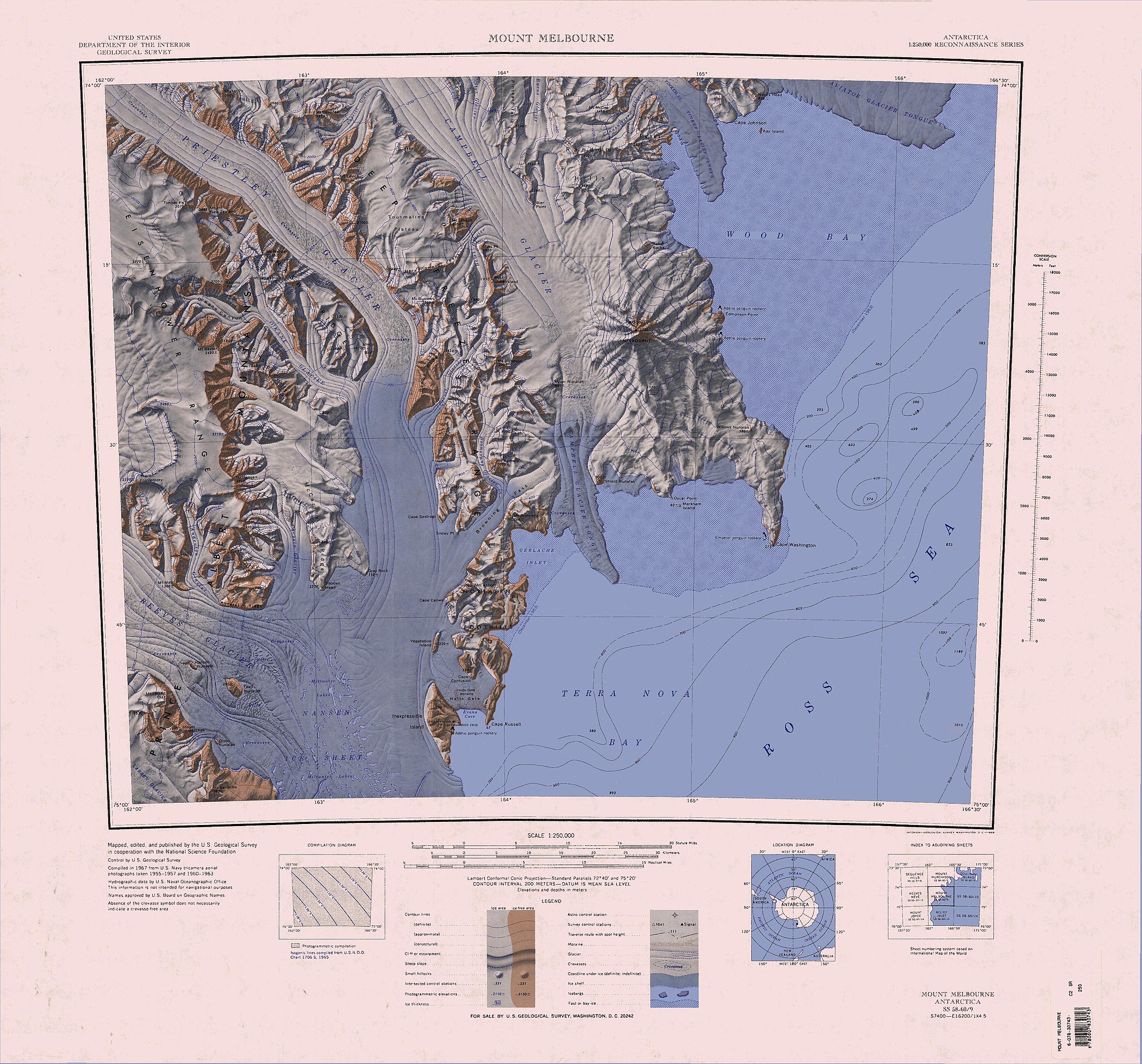
English: 1:250,000-scale topographic reconnaissance map of the Mount Melbourne area from 162°-166°30'E to 74°-75°S in Antarctica. Mapped, edited and published by the U.S. Geological Survey in cooperation with the National Science Foundation. |
|||
| Data | ||||
| Fonte | http://usarc.usgs.gov/drg_dload.shtml | |||
| Autore | United States Geological Survey | |||
| Licenza (Riusare questo file) |
|
|||
| Altre versioni | Opere derivate da questo file: Baker Rocks.jpg |
| Annotazioni | Questa immagine è annotata: Vedi le annotazioni su Commons |
Cronologia del file
Fare clic su un gruppo data/ora per vedere il file come si presentava nel momento indicato.
| Data/Ora | Miniatura | Dimensioni | Utente | Commento | |
|---|---|---|---|---|---|
| attuale | 07:51, 4 apr 2005 | | 3 493 × 3 254 (1,68 MB) | Achim Raschka | Map of Antarctica by the United States Antarctic Ressource Center of the US Geological Society. {{PD-US}} Copyrights and Trademarks USGS-authored or produced data and information are in the public domain. While the content of most USGS web pages is in th |
Pagine che usano questo file
Le seguenti 18 pagine usano questo file:
- Baia di Wood
- Capo Washington
- Dorsale Deep Freeze
- Dorsale Eisenhower
- Dorsale Nash
- Ghiacciaio Anderton
- Ghiacciaio Bates
- Ghiacciaio Campbell
- Ghiacciaio Capsize
- Ghiacciaio Carnein
- Ghiacciaio Clausnitzer
- Ghiacciaio Corner
- Ghiacciaio Foolsmate
- Ghiacciaio Havel
- Ghiacciaio O'Kane
- Ghiacciaio Priestley
- Ghiacciaio Reeves
- Monti Southern Cross
Utilizzo globale del file
Anche i seguenti wiki usano questo file:
- Usato nelle seguenti pagine di bg.wiki.x.io:
- Usato nelle seguenti pagine di de.wiki.x.io:
- Mount Baxter
- Mount Nansen
- Terra Nova Bay
- Hansen-Nunatak
- Nansen-Eistafel
- Reeves-Gletscher
- Teall-Nunatak
- Prince Albert Mountains
- Kap Russell
- Eisenhower Range
- Priestley-Gletscher
- Deep Freeze Range
- Northern Foothills
- Browning-Pass
- Cape Canwe
- Vegetation Island
- Wood Bay
- Kap Washington
- Corner-Gletscher
- Mount Borgstrom
- Mount Meister
- Nash Ridge
- O’Kane-Gletscher
- Eskimo Point
- O’Kane Canyon
- Pinckard Table
- Wood Ridge (Antarktika)
- Random Hills
- Cape Confusion
- Polar-3-Halbinsel
- Gerlache Inlet
- Hells Gate (Antarktika)
- Mount Keinath
- Snowy Point
- Föhnhalbinsel
- Westantarktisches Riftsystem
- Usato nelle seguenti pagine di en.wiki.x.io:
Visualizza l'utilizzo globale di questo file.