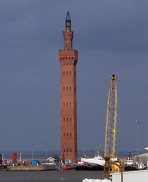
File:Grimsby Dock Tower.jpg

Dimensioni di questa anteprima: 490 × 600 pixel. Altre risoluzioni: 196 × 240 pixel | 523 × 640 pixel.
File originale (523 × 640 pixel, dimensione del file: 99 KB, tipo MIME: image/jpeg)
Cronologia del file
Fare clic su un gruppo data/ora per vedere il file come si presentava nel momento indicato.
| Data/Ora | Miniatura | Dimensioni | Utente | Commento | |
|---|---|---|---|---|---|
| attuale | 01:41, 17 lug 2007 |  | 523 × 640 (99 KB) | PeterJewell | {{Information |Description= |Source= |Date= |Author= |Permission= |other_versions= }} |
Pagine che usano questo file
Le seguenti 2 pagine usano questo file:
Utilizzo globale del file
Anche i seguenti wiki usano questo file:
- Usato nelle seguenti pagine di ar.wiki.x.io:
- Usato nelle seguenti pagine di arz.wiki.x.io:
- Usato nelle seguenti pagine di azb.wiki.x.io:
- Usato nelle seguenti pagine di be.wiki.x.io:
- Usato nelle seguenti pagine di ca.wiki.x.io:
- Usato nelle seguenti pagine di ceb.wiki.x.io:
- Usato nelle seguenti pagine di cy.wiki.x.io:
- Usato nelle seguenti pagine di da.wiki.x.io:
- Usato nelle seguenti pagine di de.wiki.x.io:
- Usato nelle seguenti pagine di de.wikivoyage.org:
- Usato nelle seguenti pagine di en.wiki.x.io:
- Usato nelle seguenti pagine di en.wikivoyage.org:
- Usato nelle seguenti pagine di eo.wiki.x.io:
- Usato nelle seguenti pagine di es.wiki.x.io:
- Usato nelle seguenti pagine di eu.wiki.x.io:
- Usato nelle seguenti pagine di fa.wiki.x.io:
- Usato nelle seguenti pagine di fi.wiki.x.io:
- Usato nelle seguenti pagine di frr.wiki.x.io:
- Usato nelle seguenti pagine di fr.wiki.x.io:
- Usato nelle seguenti pagine di ga.wiki.x.io:
- Usato nelle seguenti pagine di he.wiki.x.io:
- Usato nelle seguenti pagine di id.wiki.x.io:
- Usato nelle seguenti pagine di it.wikivoyage.org:
- Usato nelle seguenti pagine di ko.wiki.x.io:
- Usato nelle seguenti pagine di lld.wiki.x.io:
- Usato nelle seguenti pagine di lt.wiki.x.io:
- Usato nelle seguenti pagine di nl.wiki.x.io:
- Usato nelle seguenti pagine di nn.wiki.x.io:
- Usato nelle seguenti pagine di no.wiki.x.io:
- Usato nelle seguenti pagine di ro.wiki.x.io:
- Usato nelle seguenti pagine di ru.wiki.x.io:
- Usato nelle seguenti pagine di simple.wiki.x.io:
- Usato nelle seguenti pagine di sr.wiki.x.io:
- Usato nelle seguenti pagine di sv.wiki.x.io:
- Usato nelle seguenti pagine di tt.wiki.x.io:
- Usato nelle seguenti pagine di uk.wiki.x.io:
- Usato nelle seguenti pagine di ur.wiki.x.io:
- Usato nelle seguenti pagine di www.wikidata.org:
- Usato nelle seguenti pagine di zh.wiki.x.io:

