File originale (file in formato SVG, dimensioni nominali 450 × 450 pixel, dimensione del file: 17 KB)

Logo di Commons
Logo di Commons
Questo file e la sua pagina di descrizione (discussione · modifica) si trovano su Wikimedia Commons (?)
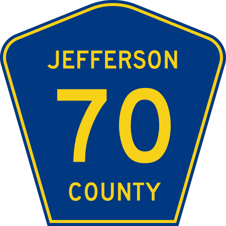
Descrizione Diagram of a 450 mm by 450 mm (18 in by 18 in) county route marker, made to the specifications of the 2004 edition of Standard Highway Signs or the 2012 Supplement to the 2004 edition (sign M1-6). Uses the Roadgeek 2005 fonts. (United States law does not permit the copyrighting of typeface designs, and the fonts are meant to be copies of a U.S. Government-produced work anyway.) Colors are from the Federal Highway Administration's MUTCD Color Specifications (Pantone Blue 294 and Yellow 116). A gray, 1-pixel stroke was added to diagrams based on the 2012 specification to clearly show the border. In reality, signs have no such stroke.
Data
Fonte Opera propria
Autore Fredddie
Public domain This file is in the public domain because it comes from the Manual on Uniform Traffic Control Devices, sign number M1-6, which states specifically on page I-1 that:
Any traffic control device design or application provision contained in this Manual shall be considered to be in the public domain. Traffic control devices contained in this Manual shall not be protected by a patent, trademark, or copyright, except for the Interstate Shield and any other items owned by FHWA.

Didascalie

Aggiungi una brevissima spiegazione di ciò che questo file rappresenta

Elementi ritratti in questo file

raffigura

Cronologia del file

Fare clic su un gruppo data/ora per vedere il file come si presentava nel momento indicato.

Data/OraMiniaturaDimensioniUtenteCommento
attuale18:51, 3 ago 2011Miniatura della versione delle 18:51, 3 ago 2011450 × 450 (17 KB)Fredddie{{Information |Description={{county}} |Source={{own}} |Date=2011-08-03 |Author= Fredddie |Permission= |other_versions= }} {{PD-MUTCD}} Category:Colorado County Route shields

Utilizzo globale del file

Metadati